A nice afternoon rest in the hotel, out to dinner, a good night’s sleep, and up in the morning to finish off this tour, heading west and north this time.
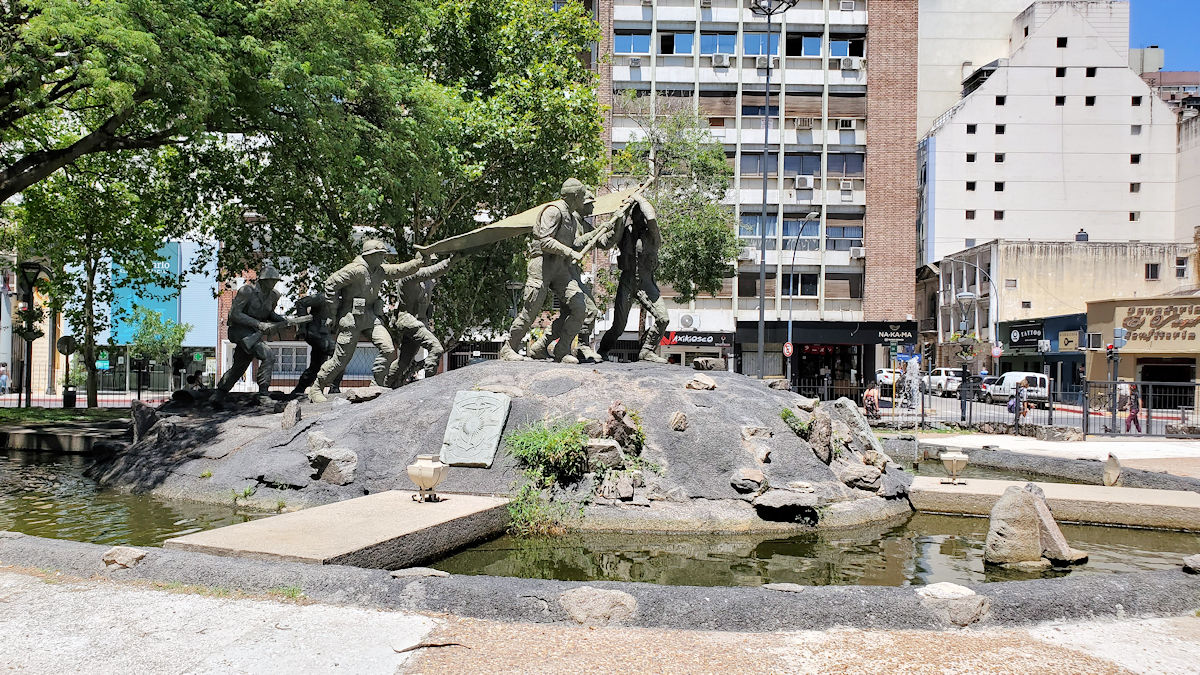
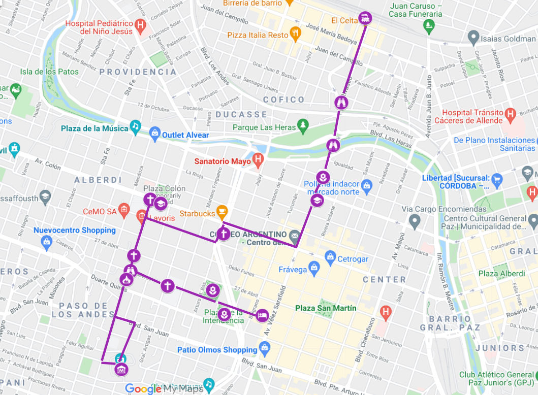
The first stop is a couple of blocks from the hotel, nice and convenient. Enroute is the large, one block square Plaza de la Intendencia, which was apparently created after WW2, and so wasn’t around when the guide was written. One corner is dominated by a sort of Iwo Jima-esque sculpture. The rest of it is mostly playground. At night it’s jammed with teens and 20-somethings playing music, dancing, and other sorts of things that young folk tend to do at night, out of sight of their parents.
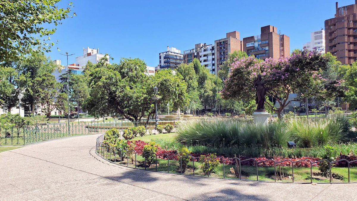
The first actual stop in the guide is the “Plaza Sobremonte”, now the Paseo Marqués de Sobremonte (it probably was then too). Absolutely nothing is said about it other than that it exists. It’s quite beautiful…
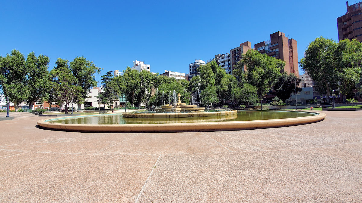
…centered around this lovely fountain. And…
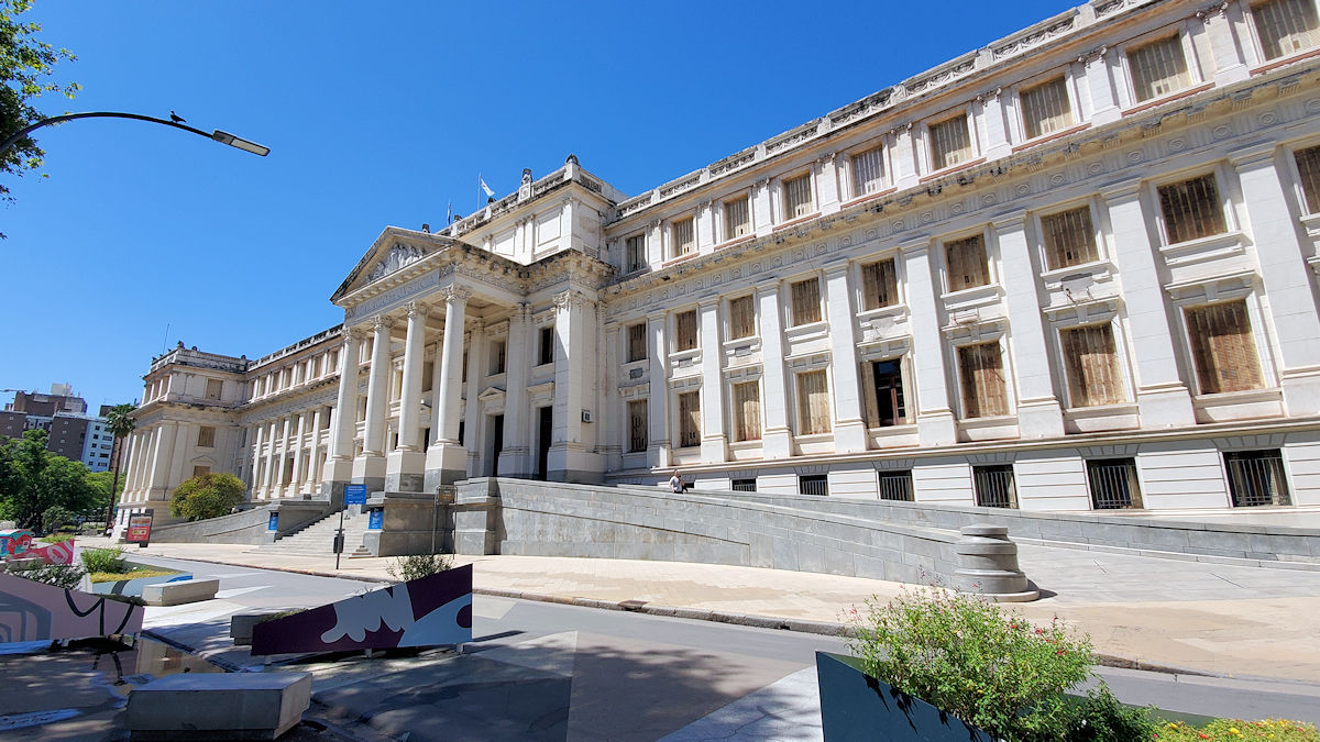
…bordered on two sides by City Hall and the Municipal Court building, all of which were built after 1932.
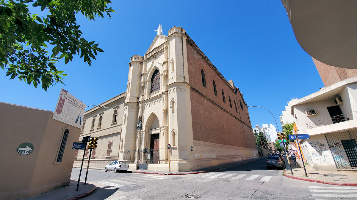
Continuing on a couple of blocks to the west is the Santo Tomas church and school, though today, while the school retains that name, the church is now the Iglesia Sagrado Corazón de Jesus, or Sacred Heart of Jesus Church. Again, maybe it really was called that back in 1932, I’ve noted whoever wrote this book is often off by a bit on names of places.
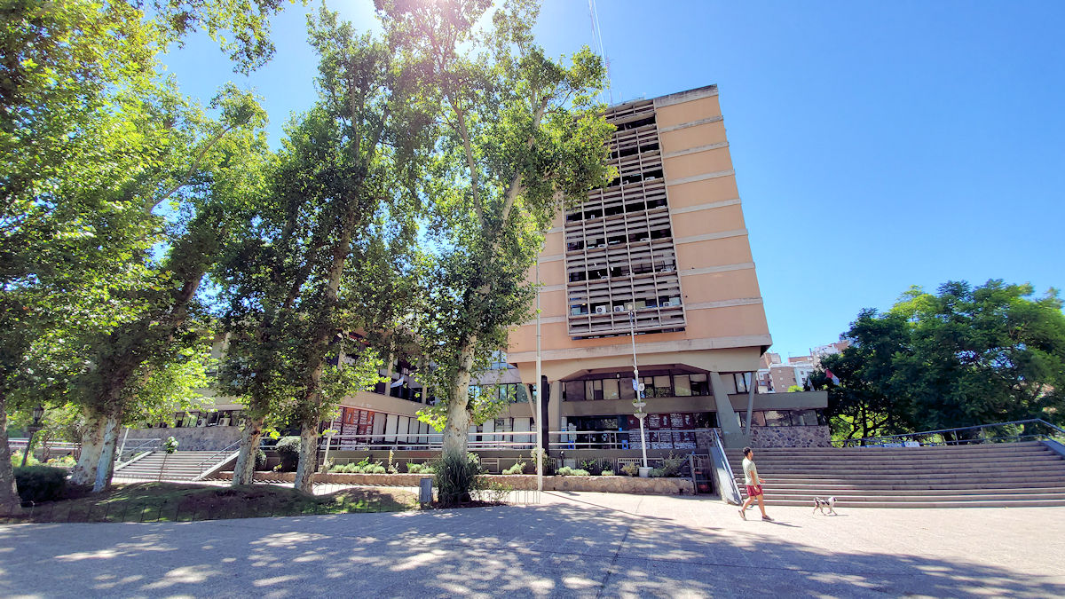
Another two blocks along Caseros and we are advised to cast our eyes to the south along Moreno, and see the Meteorological Observatory looming atop the hill. Clearly, the area wasn’t built up 90 years ago, as you can barely tell that there’s a hill about 6-7 blocks away, let alone see anything on it.
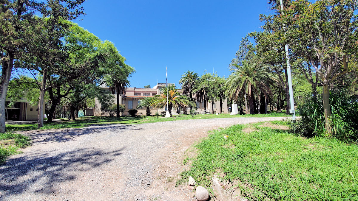
There also was no Meteorological Observatory shown on the map, but rather an astronomy museum. Obviously it has changed over time. But, I dutifully wandered to the south and took the little side street to find this building. It doesn’t look like much of an observatory, and while there are a few towers of the radio sort on the grounds, I didn’t see anything that looked very observational. Supposedly there’s a large telescope observatory here somewhere, but I didn’t see it.
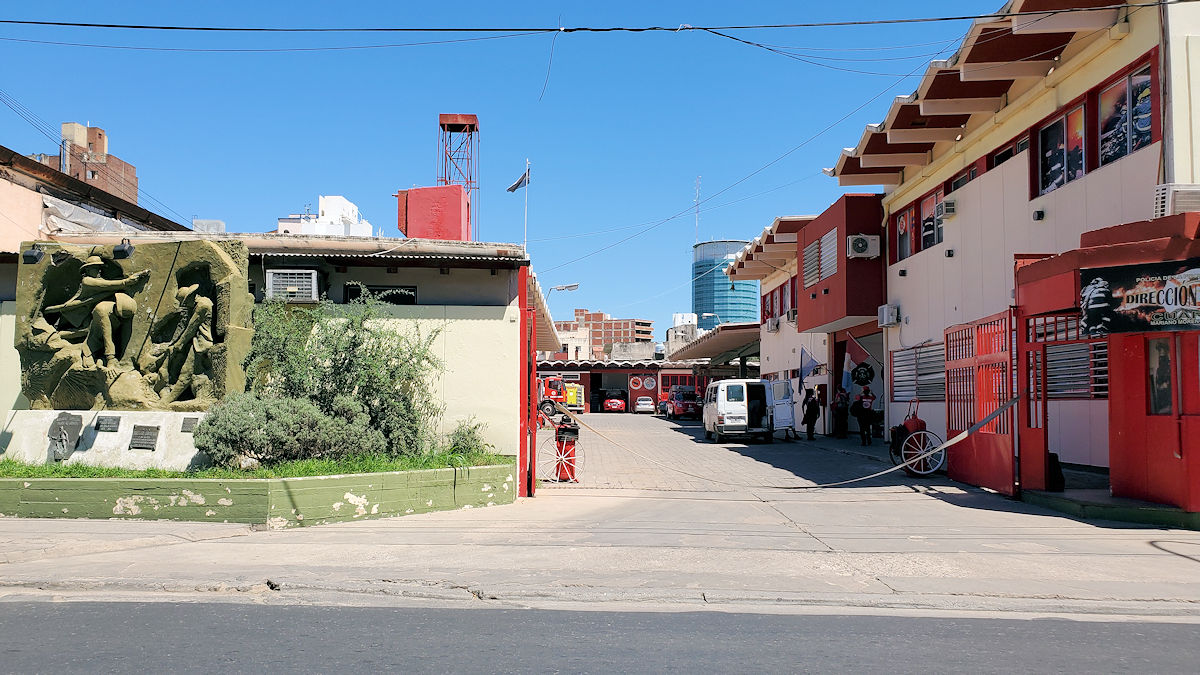
Returning back to the north along Moreno, I just thought it interesting to snap a photo of the main fire station for the city.
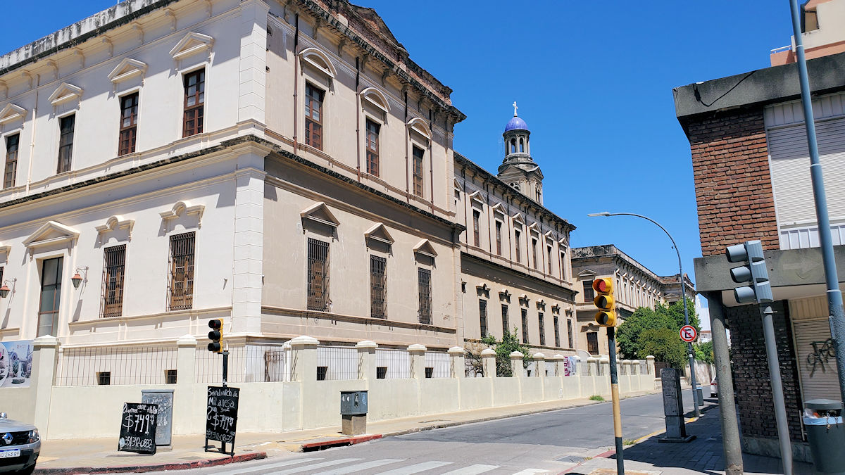
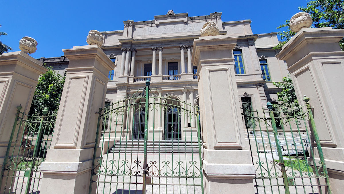
Next stop, the church and school of San José. Nothing is noted about it other than its existence.
Taking a one block detour, because I could see these buildings ahead, are the María Auxiliadora church and the Alejandro Carbó public school. Neither they, nor the currently walled off and under reconstruction Plaza Colón across the street existed when the guide was written.
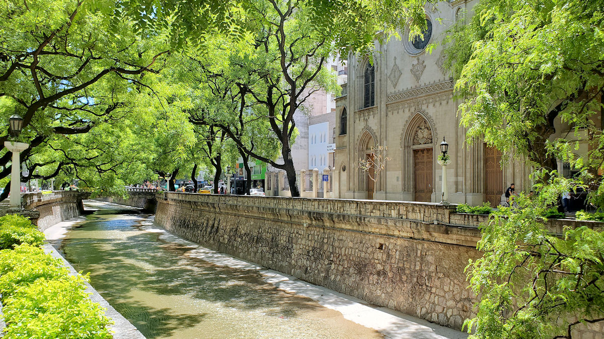
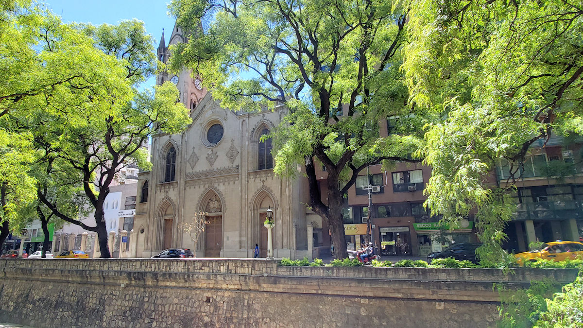
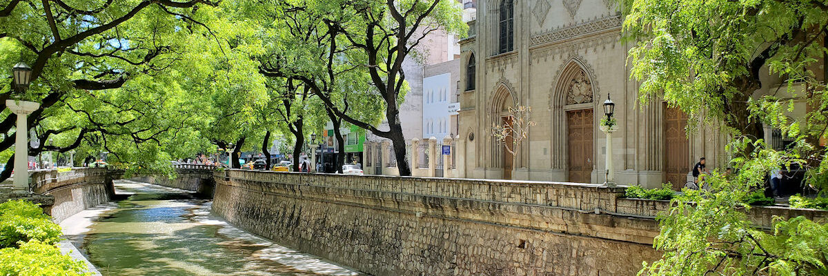
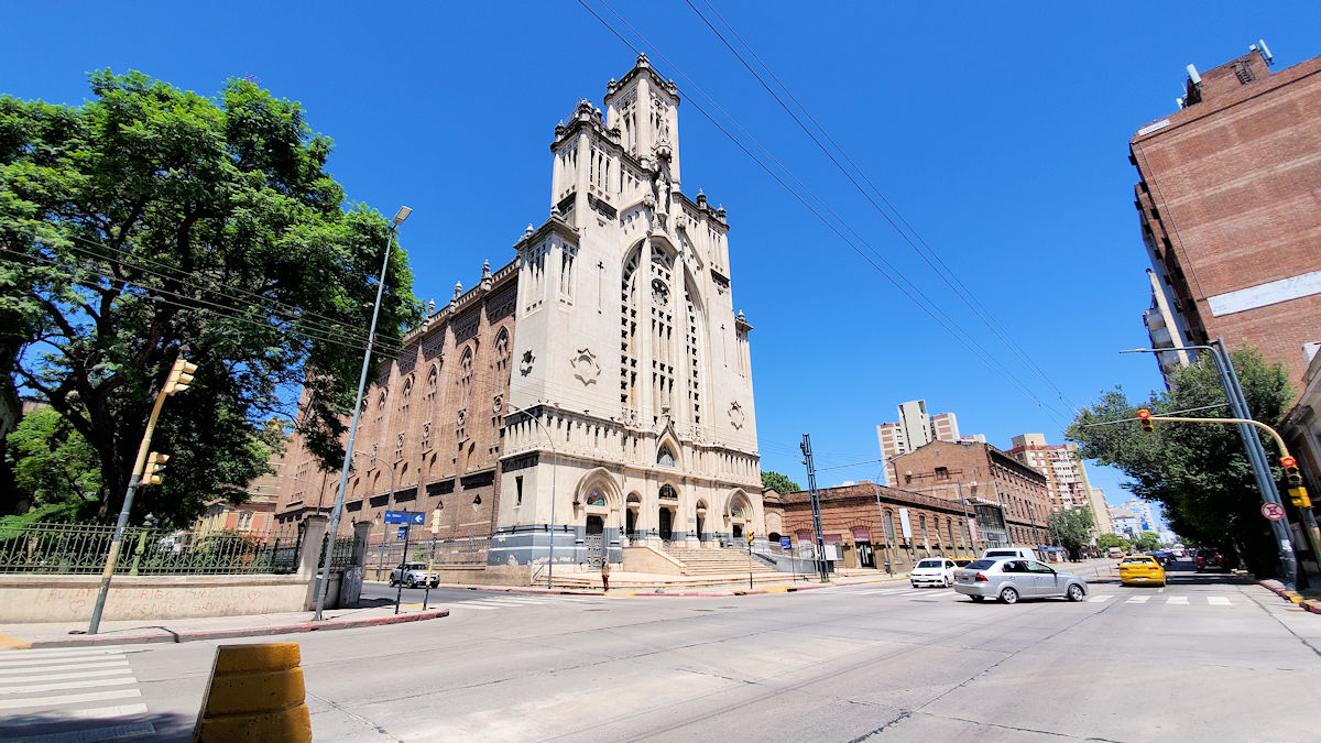
Heading back to the east and into the city center again, we are enjoined to cross La Cañada, a tributary off of the city’s main river. This is described as a river at the time. I wonder if there’s ever much more water anymore. While it’s built up to contain a river, the plant grown and watermarks make it look like it hasn’t happened in a long time. Across it, the Iglesia del Carmen, mostly noted for its ojival (pointed arch style) and its views out over the river, and behind it, out over the city. Neither of those is much of a view these days.
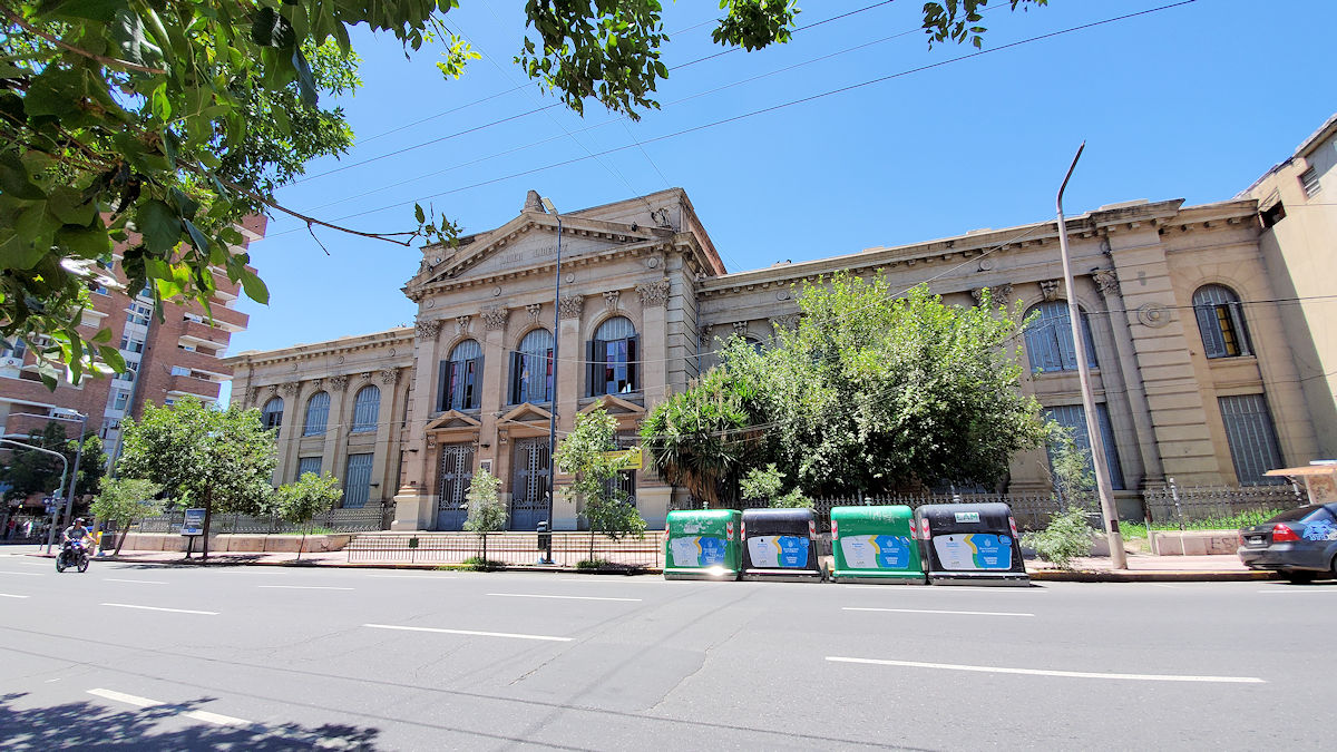
This one had me wondering for a bit. From the church, the instructions are to continue to the corner of the avenue, and take a left, and see the beautiful Alberdi school. Not noted is that that’s about eight blocks away. It’s an elementary school, that’s still in use today. Somewhere in there is supposed to be a beautiful patio with a bust of Juan Bautista Alberdi, a 19th century Argentine politician.
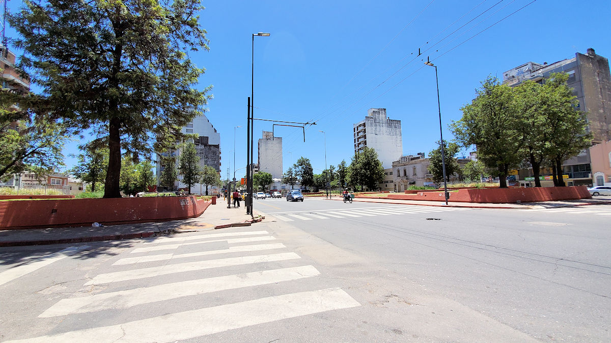
A block further on is the Plaza General José María Paz, at the time, it was supposed to be quite beautiful, and dominated by a towering statue of the general himself, one of the heroes of the Argentine war of independence. There’s no statue anymore – there are four small pedestals, which are supposed to have busts of four past Argentine presidents who were from Córdoba. Only two of the busts remain on their pedestals, and the plaza is rundown. Its primary purpose seems to be a bus transfer point between the east-west lines and north-south lines.
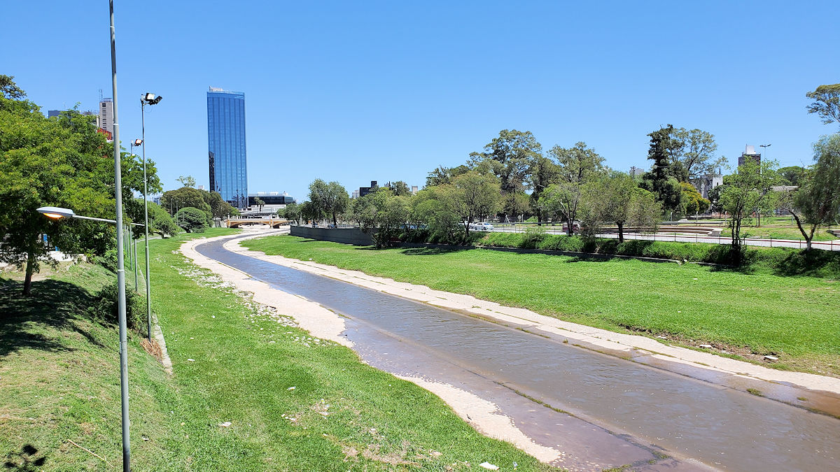
Next, we cross the Río Primero, a.k.a. the Río Suquía, after a local archbishop. Again, it really looks like there hasn’t been much of a river here in a long time. There’s a part on the far side, just past the tree-line, but it’s all dug up and under construction. I assume to beautify it as opposed to build over it, but I didn’t delve into that.
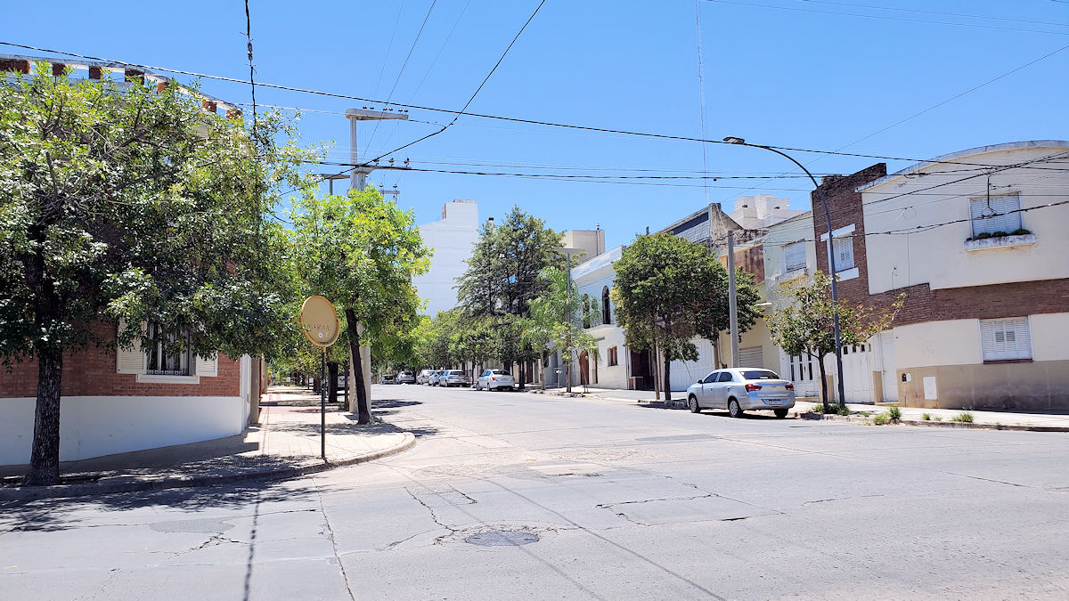
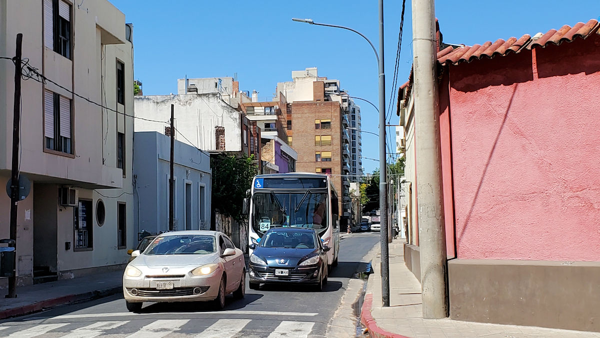
And, a seven or so block walk to the north. Just a shot along the street to see the character of the Alto Córdoba neighborhood. Mostly two-story, probably single family homes.
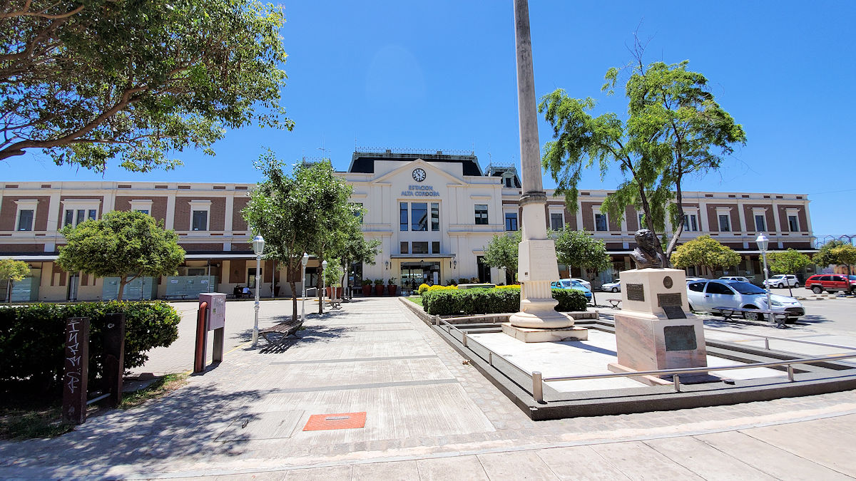
And, the tour ends at the Alto Córdoba Train Station. I’m guessing it didn’t look like this way back then. It’s clearly been remodeled, or refurbished, and inside it’s all quite modern. Clearly this is the current main train station for the city, and it was quite active. The tour technically continued a few blocks to the left to see the large railroad sheds where train maintenance was performed, however a quick glance shows that it isn’t there anymore – Google Maps shows it as a grown over empty field with the remains of what looks like a large metal building off to one corner. I decided to call it here.
I cabbed back to the south and headed for lunch. Food next time!
I have to say, I’m glad I had this offbeat walking tour to make a game of sightseeing in Córdoba. Given how many things were closed, had I not had that, I’d have probably spent most of the time in the hotel doing little to nothing, and just seeing the same couple of museums and a few of the key monuments or buildings in the city center. I may just do the same thing on future visits to other points in Argentina that are included in the book!